
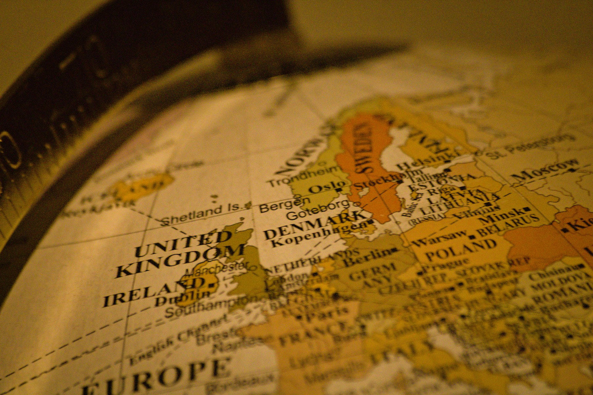
Most European countries share at least one land border, and many share several. A handful do not. Five sovereign states in Europe sit entirely on islands or island groups, and between them they range from the ninth-largest island on the planet to an archipelago you could drive across in under an hour.
The United Kingdom
Great Britain is the largest island in Europe and the ninth-largest in the world, at about 209,000 square kilometers. Together with Northern Ireland, on the island of Ireland, and more than a thousand smaller islands, it makes up the United Kingdom, home to around 69 million people.
The UK’s only land border is the roughly 500-kilometer line with the Republic of Ireland. Its best-known link to the mainland is not a border at all but a tunnel: the Channel Tunnel, opened in 1994, runs about 50 kilometers between Folkestone and Coquelles, and around 38 of those kilometers are under the sea.
Ireland
The island of Ireland covers about 84,000 square kilometers, of which the Republic takes roughly five sixths. The Republic’s population passed five million in the 2022 census, the first time since the 1850s that it had reached that level, after more than a century of emigration and slow recovery.
Ireland is also one of the few countries in Europe without native snakes, a fact usually credited to Saint Patrick and more plausibly to the last ice age, which left the island cut off before reptiles could recolonize it.
Iceland
At about 103,000 square kilometers, Iceland is the second-largest island in Europe, yet fewer than 400,000 people live there, most of them in and around Reykjavík. That makes it the most sparsely populated country in Europe.
Iceland sits on the Mid-Atlantic Ridge, where the North American and Eurasian plates pull apart, which explains its volcanoes, geysers and hot springs. Geothermal and hydroelectric power cover almost all of its electricity and most of its heating, a share no other European country comes close to.
Cyprus
Cyprus is the third-largest island in the Mediterranean, after Sicily and Sardinia, at about 9,250 square kilometers. It joined the European Union in 2004, but the island has been divided since 1974, and EU law is suspended in the north, which the Republic of Cyprus does not control.
Its capital, Nicosia, is often described as the last divided capital in Europe. A UN-patrolled buffer zone, known as the Green Line, runs through the old city and across the island.
Malta
Malta is the smallest of the five by a wide margin. Its three inhabited islands, Malta, Gozo and Comino, cover just 316 square kilometers, about a third of the size of Berlin. With a population of a little over half a million, it is also one of the most densely populated countries in the world, a point we covered in our look at the smallest countries in Europe.
Small does not mean young. Malta’s megalithic temples, such as Ġgantija on Gozo, date back more than 5,000 years, which makes them older than Stonehenge and the pyramids of Giza.
The five, side by side
- United Kingdom: Great Britain about 209,000 km², population around 69 million
- Iceland: about 103,000 km², fewer than 400,000 people
- Ireland (island): about 84,000 km², Republic population over 5 million
- Cyprus: about 9,250 km², EU member since 2004
- Malta: 316 km², a little over half a million people
Islands that are not countries
Several other European island groups have their own flags and parliaments without being sovereign states. The Faroe Islands, with around 54,000 people, govern themselves within the Kingdom of Denmark and, unlike Denmark, are not part of the EU. The Åland Islands between Sweden and Finland belong to Finland but are autonomous and almost entirely Swedish-speaking. Further south, Sicily and Sardinia are larger than Cyprus but remain regions of Italy, as Corsica is a region of France.
What island life changes
Geography shapes these countries in ways that are easy to miss. Island states depend heavily on ports and airports for trade and travel, energy grids are harder and more expensive to connect to neighbors, and fresh water can be a constant concern. Malta, with no rivers or lakes of note, produces much of its drinking water by desalinating seawater.
At the same time, being surrounded by sea has given all five a strong maritime identity, from Britain’s naval history to Iceland’s fishing economy. For a continent defined by its borders, these are the countries where the border is mostly water.